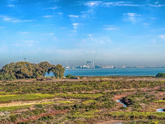
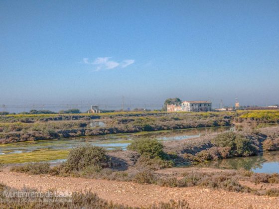
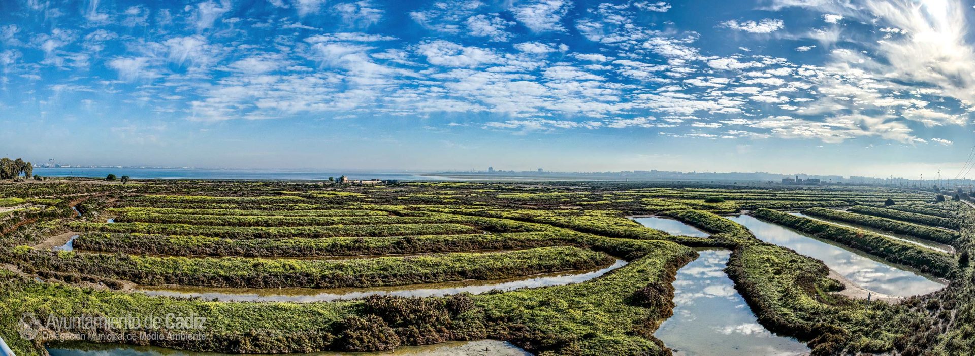
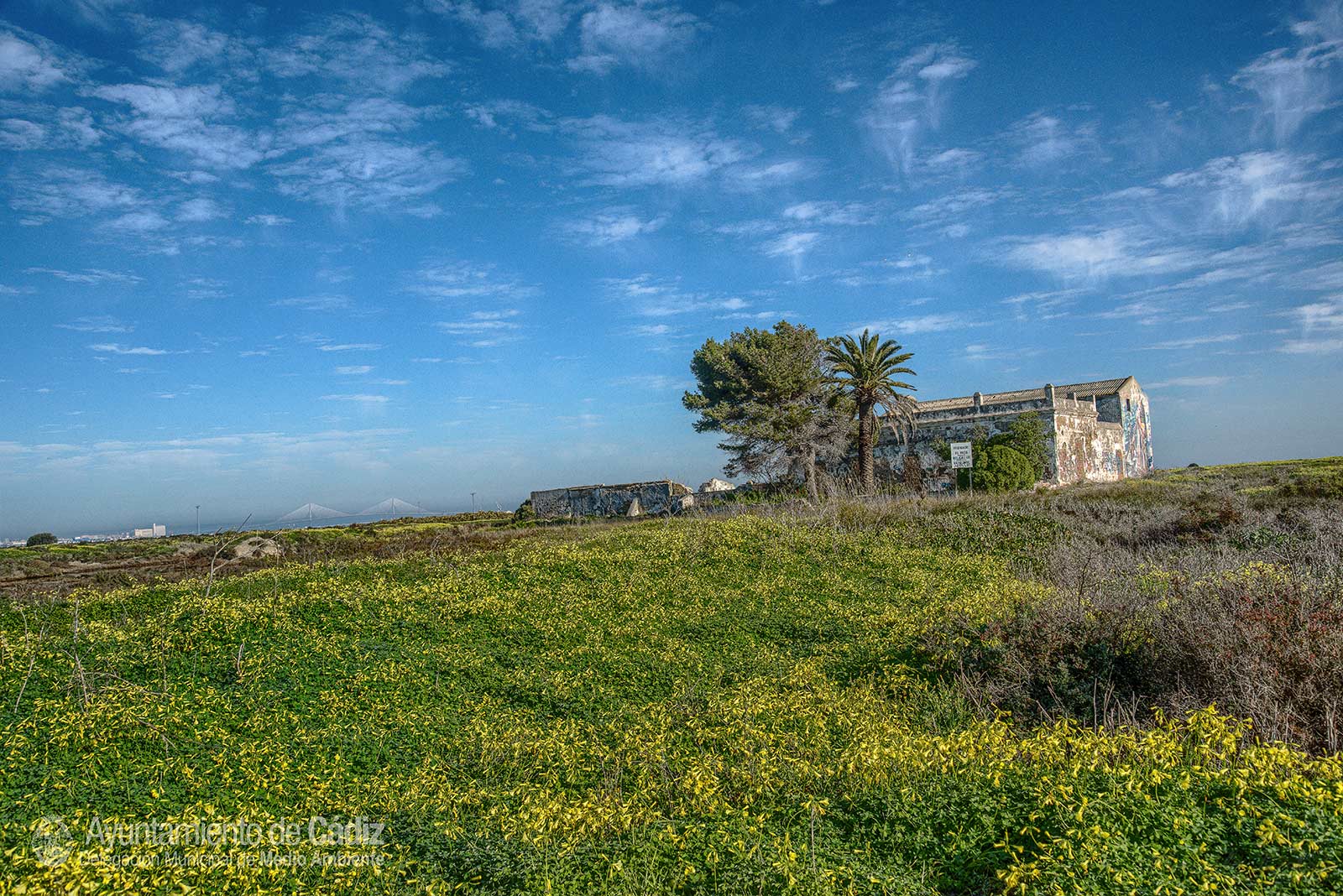
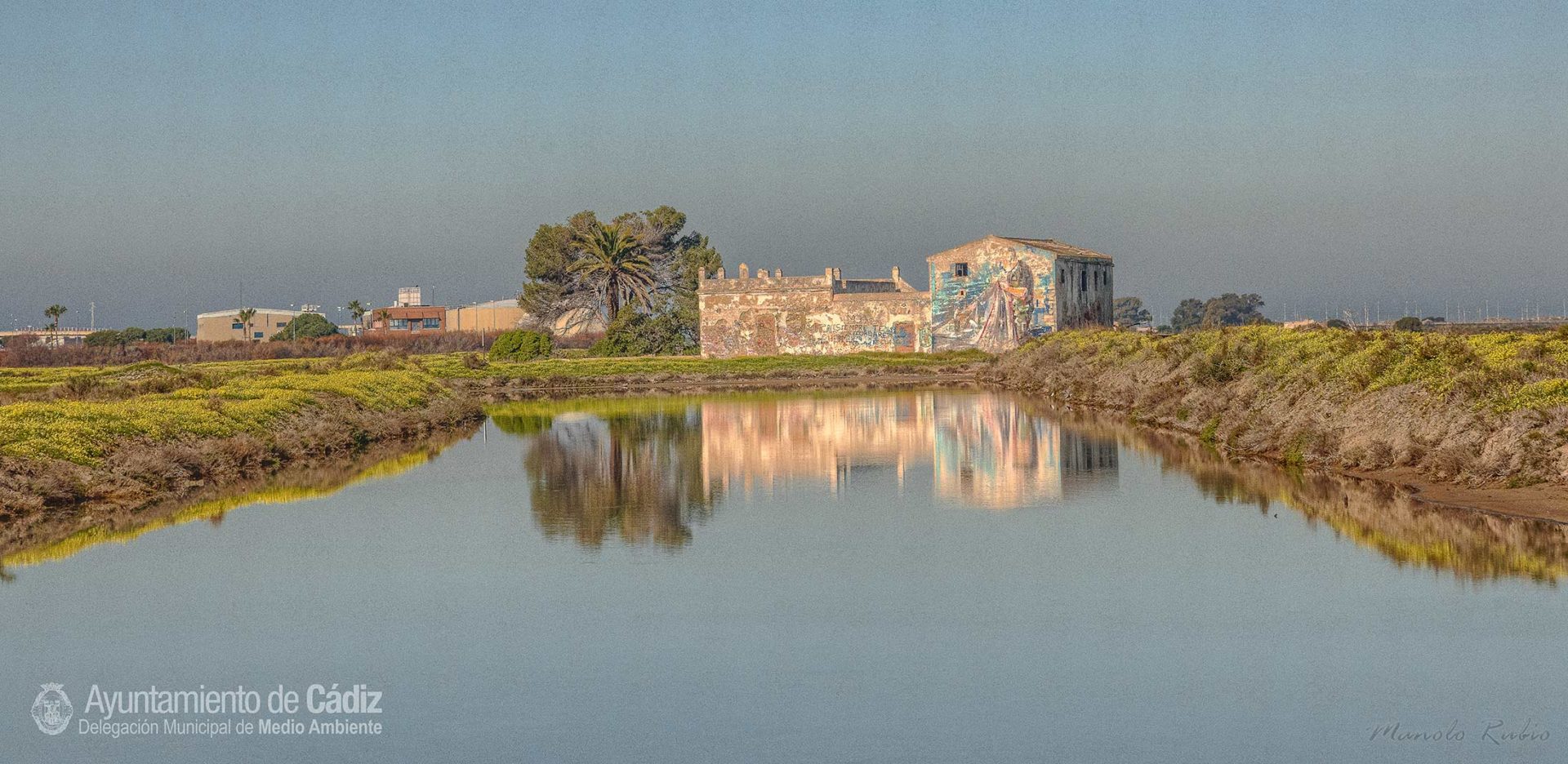
Salt Lakes: La Dolores, La Roqueta and San Felix
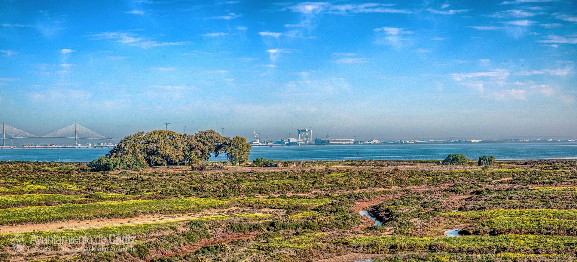
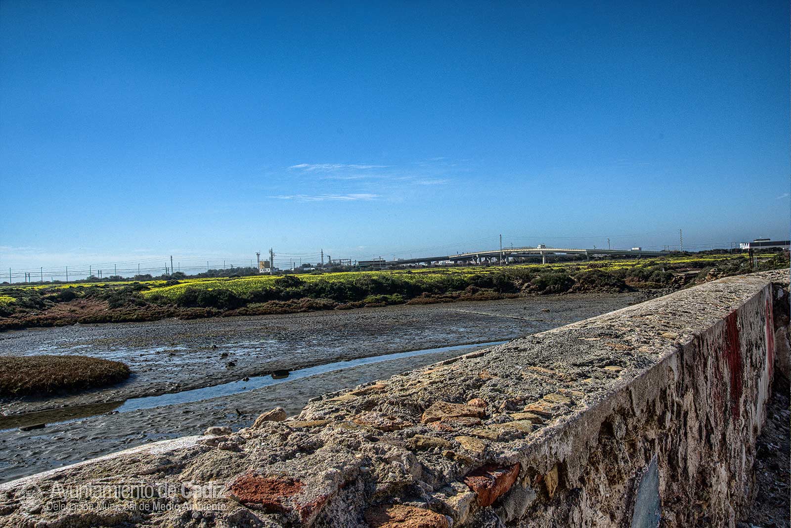
The Salt Lake of Nuestra Senora de los Dolores is located in the southern area of the inner part of the Bay of Cadiz. This salt lake covers an area of approximately 70 hectares and is bordered on its eastern side by the Arillo River, an old channel that connected the inner part of the bay with the open sea and is currently blocked by the advance of the sands from the beach of Torregorda. On the South it is bordered by the national road IV, in the West by the salt lake of La Roqueta or Santibáñez and its North side bordered by the inner part of the Bay.
The salt lake La Roqueta or Santibáñez, is located adjacent to the west of La Dolores, bordering it and the CA-33 road to the south and west. To the north, it is bordered by the inner part of the Bay.
On the other hand, the San Felix salt lake borders the north with the CA-33, to the west with the military installations of Torregorda, to the south with the beach of Torregorda and the east with the Caño of the River Arillo, which is a natural border of the province that separates it from the salt lake of los Tres Amigos, which belongs to the municipality of San Fernando.
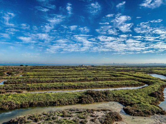
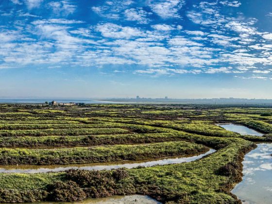
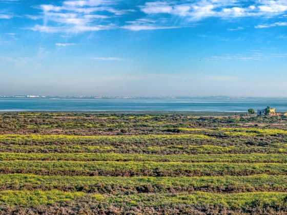
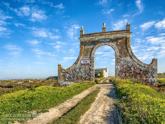
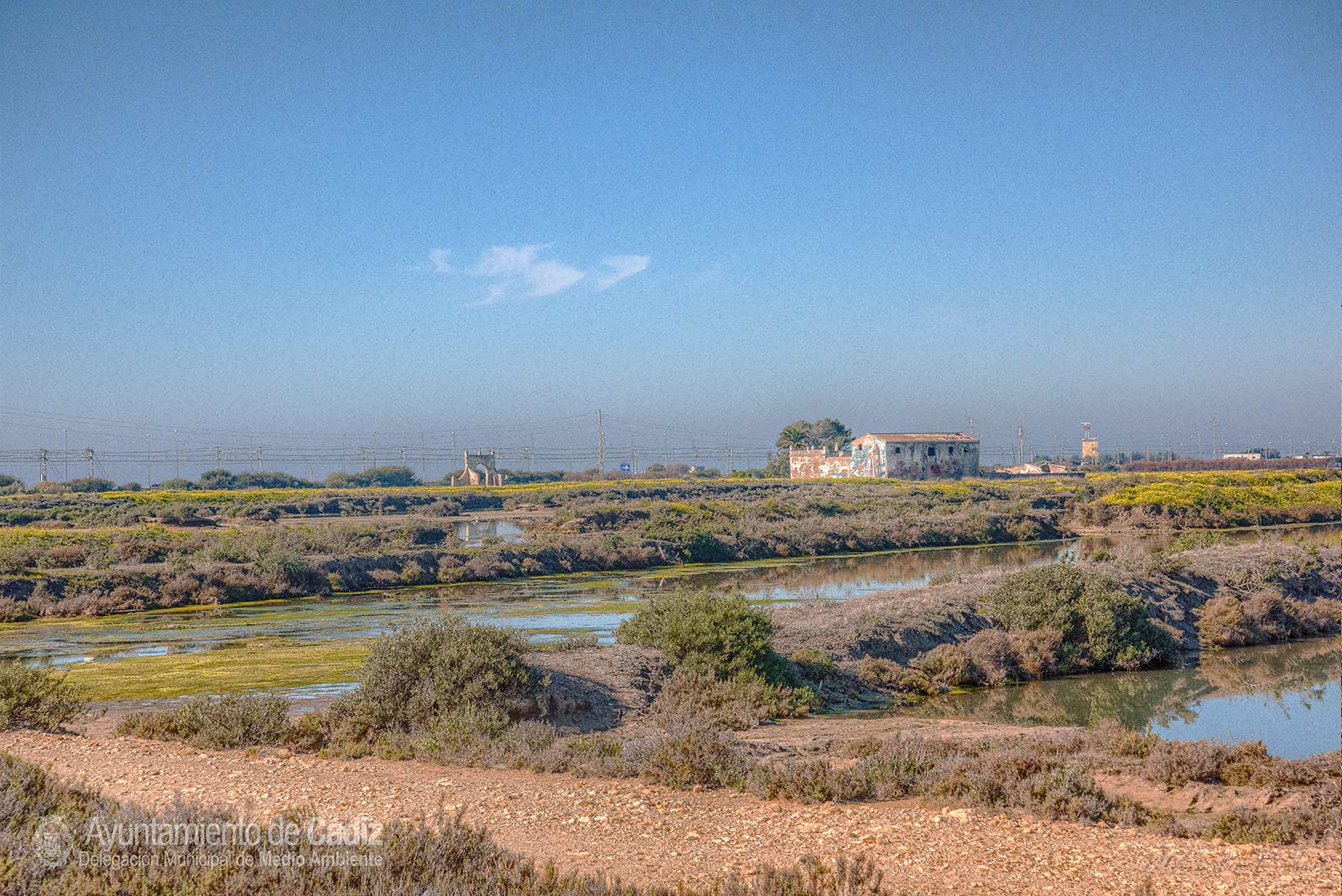
It is about three old salt lakes, now abandoned, that have a very deteriorated structure and are dedicated to an extensive aquaculture operation (the removal of fish that enter the estuary with the tide when they reach commercial size by natural feeding).
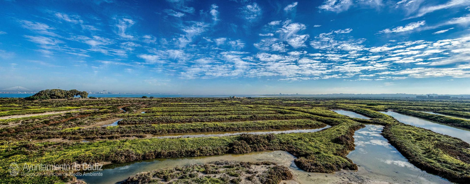
Different points of access allowed the entry or exit of sea water to the salt lake, the so-called estuary. Once inside, the water was carried along by a network of zigzag channels to the different storage plots built on the ground at an approximate depth of between 15 and 20 centimetres and which decreased the depth to facilitate evaporation. The water stayed for a while in these areas of evaporation until passing through to the zone known as the tajería where the salt was collected and was then piled up in great pyramids.
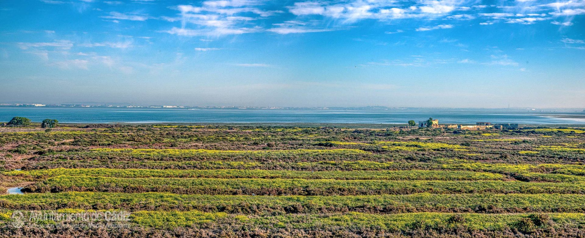
Due to the abandonment of these salt lakes, the deterioration of the walls and breakage of access points has occurred, so there are compartments without any water, others with tidal influence, walls full of vegetation …
Thus, the submerged macrophyte meadows disappear in some compartments and the species of high marsh in the walls of these salt lakes increase, such as the Boiss (Limoniastrum monopetalum), the Glaucous Glasswort (Arthrocnemum macrostachyum), the Shrubby Swampfire (Sarcocornia fruticosa), Frankenia laevis, Suaeda vera, Salsola brevifolia and Mesembryanthemum nodiflorum.
In the cases in which the saltworts (Sarcocornia perennis) is present, it is implanted in the lower edges of the walls, occupying the area that is more in contact with the water of the salt lakes. In this way you can see a slight zoning, in which the latter species occupies the lower levels, while the Boiss (Limoniastrum monopetalum) is always in the highest areas of the walls, along with the Glaucous Glasswort (Arthrocnemum macrostachyum ).
It is remarkable the significant absence of species that do appear in other marshes of the Bay of Cadiz, such as Salicornia ramosissim and Denseflower Cordgrass (Spartina densiflora).
As a consequence of the lack of influence of the tide, rainwater washing and the contribution of exogenous substrate, on certain stretches of some walls in certain salt lakes, suggests that halophytic vegetation is not the only one present in this space. This is because it is very common to find ruderal species on the central zone of said walls, some roads and other pedestrian zones (near constructions, accesses, etc.). Basically, the most common ruderal species are annual grasses. There are also invasive allochthonous species that have become naturalised, such as the Hottentot-fig (Carpobrotus edulis) or the Barbary Fig (Opuntia tuna), over spaces with a high coverage of high marsh vegetation.
The marsh land transformed into salt lakes with well-lit shallow waters that were easily renewable, which had acceptable levels of oxygenation, being an important source of nutrients and detritus from the marshes and waters of the bay. This allowed it to develop an enormous production of phytoplankton and zooplankton, which feed molluscs, annelids, crustaceans and fish. For example, the presence of the invertebrate Nereis sp., or the Rockword (Marphysa sanguinea), is noteworthy because it is the staple diet of fish and its young in the estuaries. Among the most abundant crustaceans, both in the estuaries of the salt lakes and in the pipes are those belonging to the Palaemonidae family, such as Common Ditch Shrimp (Palaemon varians). Among the most abundant crabs, the Green Shore Crab (Carcinus maenas) and the Fiddler crab (Uca tangeri) are to be highlighted. However, in the abandoned salt lakes, all this variety decreases.
Nevertheless, at low tide aquatic birds use sludge from the intertidal zone as feeders, while at high tide they move to feed on the shallow water pools inside the salt flats. Also, many of them make their nests between the vegetation of the walls of the salt lakes or in areas not flooded by the tides. Its abandonment (the flow of water to the different compartments stops regulating, the walls deteriorate and break and the vegetation of high marsh develops), causes the surface to change its use, meaning that the feeding, breeding and resting of acquatic birds decrease.
In the estuaries of these salt lakes, commercial species are gathered together, such as the Gilthead Sea Bream (Sparus aurata), The Sea Bass (Dicentratus labrax), The Spotted Seabass (Dicentratus punctatu), the Golden Grey Mullet (Liza aurata), the Thinlipped Mullet (Liza ramada), the Senegalese Sole (Solea senegalensis), the Flathead Grey mullet (Mugil cephalus) and the Leaping Grey Mullet (Liza saliens), due to their “homes” being destroyed by the tide.
History of the Salt Lakes
The structure and operation of a traditional salt lake
History of the Salt Lakes
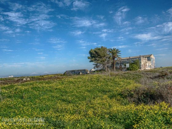
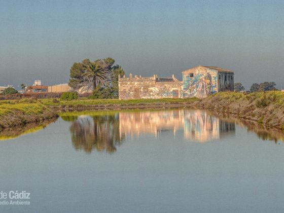
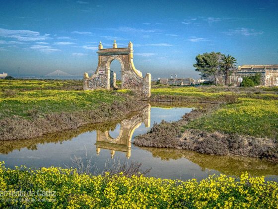
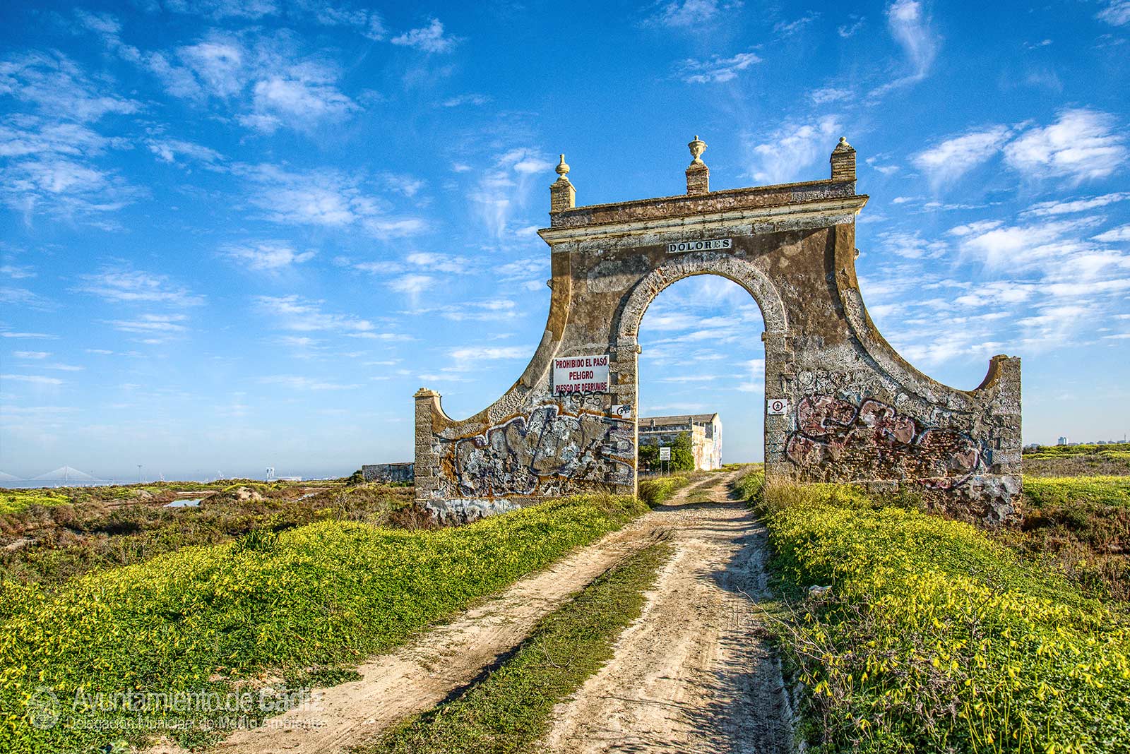
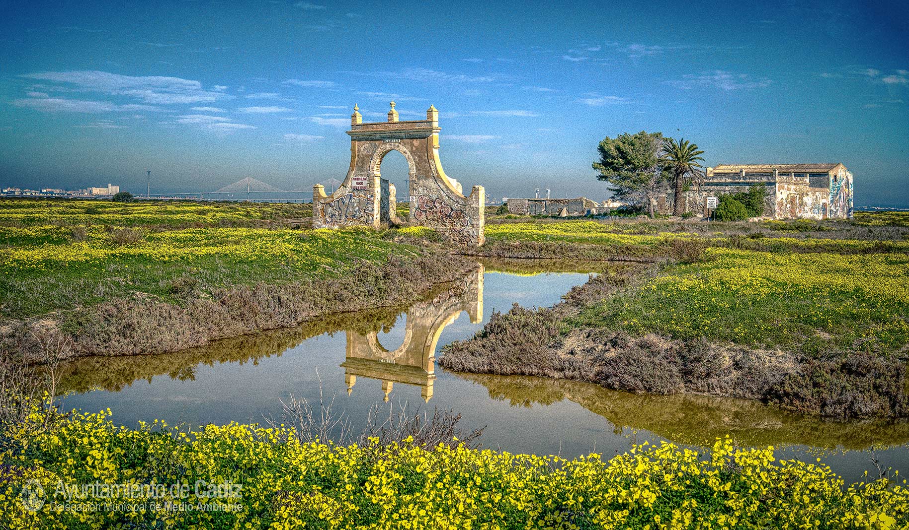
The extraction of salt along with inshore fishing has been the most traditional use of the Bay. The technique of salt production has remained almost intact for centuries: the seawater is driven by the tide and enters a system of feeding pipes and access points by successive ponds. The warm winds of Levante and strong insulation lead to intense evaporation and crystallisation of salt. The landscape associated with the salt lakes, labyrinths of pipes, estuaries and walls, is the result of human use. The age of the marsh gives uniqueness to the landscape and reflects the true culture and economy of the bay. The Cadiz salt industry was one of the most important and emblematic economic activities of the Bay of Cadiz, reaching more than 140 salt lakes until the middle of the 20th century. They have left us a legacy of high ethnographic interest as it houses the last remains of the salt culture, houses and buildings linked to the salt exploitation, the salt mines and the tide mills such as the Arillo River, which is one of 19 that can be found in the bay. It has twelve stones and is constituted as the best example of this type of technology and it is also included in the General Catalogue of Andalusian Historical Heritage.
When the salt activity was interrupted, the tidal flow and the level of flooding in the abandoned salt lakes became exclusively regulated in order to allow the old estuaries (saline water reservoirs) to allow their fishing exploitation. It is the so-called extensive aquaculture, based on natural growing of young fish that enter the estuary with the tide and become trapped, which when they reach a certain size, are collected by fisherman with nets.
The structure and operation of a traditional salt lake
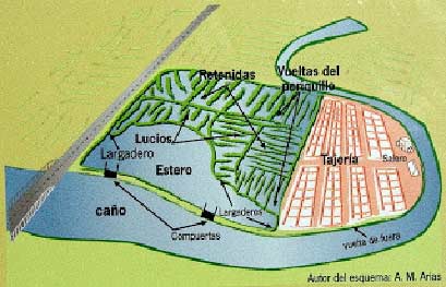
The salt activity is divided into three stages: the clearing or preparation of the salt, the actual production and, finally, the transport, stacking and release of the product. Each salt lake has a set of water tanks of different morphology, excavated in the marsh and that are being crossed by the water in the manufacturing process. They are grouped into three zones: water collection and storage, evaporation and crystallisation.
The storage area or “estero”, also called “lucio de fuera”, is located next to the feeding pipe, from which it takes water through a gate, called “tide gate”. It consists of two walls – the base or “sardiné” – built with oyster stone and concrete, and the elements that serve to manually regulate the entry and exit of water, built in cured and caulked pine wood: large gate “portalón” , “vírgenes”, strut “riostra”, “molinete”, sling “estrobo” and “chicote”. The retaining wall of the estuary that adjoins the pipe and limits the salt lake receives the name of “vuelta de fuera “. It is reinforced with oyster stone and stakes to protect it from erosion and to remain in the ground.
 |
|---|
| The structure of a salt lake. Alberto M. Arias. |
Water circulates by gravity, by differences in the level of water stored between one tank and the next. The communication between one and the other are small gates, called “largaderos”, barely half a metre wide. The evaporation zone consists of three different subunits called “lucio”, “retenida” and “periquillo”, formed by progressively narrower and shallower channels, so that evaporation increases.
There is an increasing salinity gradient from the catchment area to the crystallisation zone, which determines another, but decreasing in biodiversity gradient. The height of the different parts of the salt from the estuary to the crystallisers is also decreasing.
Finally, when the hypersaline water of the crystallisers of the tajeria have evaporated, the salt precipitates and is collected.